


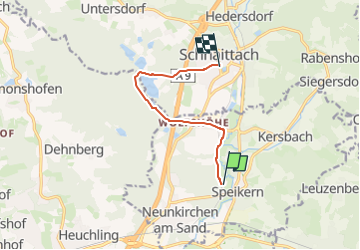

6,2 km | 9,1 km-effort


Tous les sentiers balisés d’Europe GUIDE+


Application GPS de randonnée GRATUITE
 SityTrail
IGN / Instituts géographiques
SityTrail World
Le monde est à vous
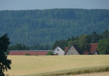
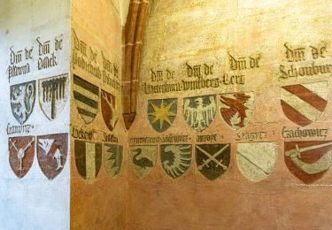
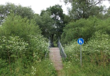
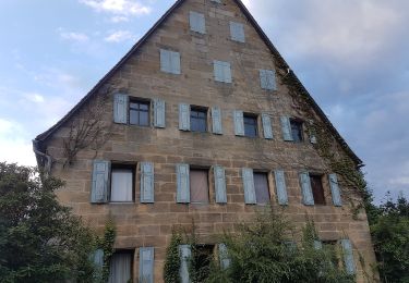
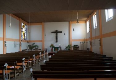
Randonnée A pied de 6,6 km à découvrir à Bavière, Nuremberg-Campagne, Neunkirchen a. Sand. Cette randonnée est proposée par SityTrail - itinéraires balisés pédestres.
Randonnée créée par Landratsamt Nürnberg Land.
tag by Wankmann
Site web: http://landkreislauf.de/
A pied
A pied
A pied
A pied
A pied
A pied
A pied

A pied
A pied